Summer 2022 saw Greg and Jim’s 5th trip into the Beartooth Wilderness in southern Montana. The Absaroka-Beartooth Wilderness, which was designated in 1978, contains over 943,000 acres extending from Gardiner MT in the west to Red Lodge MT in the east and south to the north boundary of Yellowstone Park. In 2015 we made our first trip into the Beartooth from Jardine near Gardiner MT and over the years worked our way east until this year when we started from Lions Camp Trailhead outside of Red Lodge.
We planned a 5 day, 34-mile loop route starting at Lions Camp Trailhead.

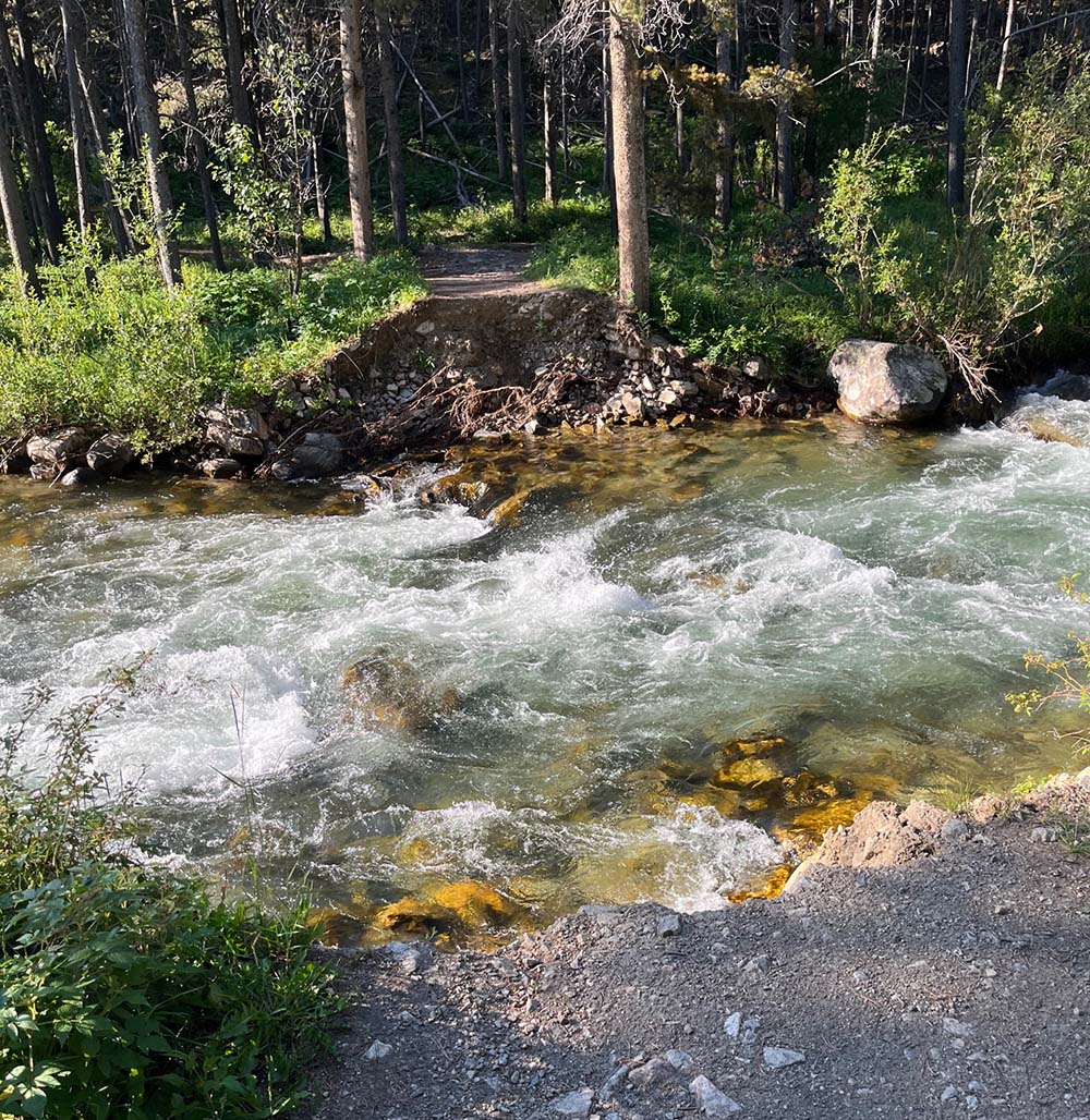
Monday morning, we arrived at the Trailhead at 8:00 to find the trail closed due to the fact that the bridge washed away in the Yellowstone flooding weeks before.
Back to the car camp site to start 2 miles farther down the trail.
From an elevation of 6700 feet we started up the Lake Fork Trail. The creek running beside the trail was roaring and jumping its banks in places.

We decided with the 2 added miles to camp at Lost Lake instead of Kaiser Brown Lake. That was a good decision because the next day we saw that Kaiser Brown Lake was down a steep grade from the trail that we would have had to hike out of on Tuesday morning.
As it was, we didn’t get to Lost Lake until around 4:00. The only rain we experienced was around 4:00 am Tuesday morning at Lost Lake and it was done by around 6:00 am.

Tuesday’s hike was about 4 miles and took us to just below Sundance Pass. Our plan was to summit on Tuesday and camp in the valley beyond.
When we got to the base of the summit it was already 3:00 in the afternoon and we were bushed. It would have been a 1 mile hike up the summit but we didn’t realize at the time it was 3 miles down switch backs to a camp site on the other side.

We camped Tuesday night at about 10,000 feet.
The 1 mile up in the morning was hard but definitely not the worst of the trip. The snow pack was pretty amazing.

We topped out at 10,500 Ft to gaze upon one of the most beautiful vistas of any of our hikes. It made the 1 mile up and 3 miles of switch backs down from Sundance pass worth it.


Wednesday was only a 5 mile hike to Calamity Falls but it seemed much longer.

Thursday was 3 miles down to the Senia Trailhead at 7,600 ft and then back up the Timberline and Bear Track Trails 4 miles to Silver Run Lakes. We camped Thursday night just below Silver Run Pass at around 9,800 ft.

Friday morning started with the hike up to Silver Run Pass at 10,500 FT.
The trail across Silver Run Plateau is all above 10,000 ft and only marked by rock cairns. It was a hard 7 miles.

And then we were treated to 3 miles down of the steepest switchbacks we have ever hiked with a pack. Over 3000 feet of elevation later we ended up 1 mile from the truck.

Total actual mileage is estimated at 38 miles.
The end of July start date brought more mosquitos than we had seen in our previous hikes in late August and temperatures were also warmer than usual. But besides bugs, hotter temps, and incredible elevation gains and losses, this was one of the most beautiful hikes we have done in the Beartooth. Greg has hiked the Beartooth since he was a kid living in Livingston Montana and for the first time realized how the Beartooths got their name. The mountains around Sundance pass were jagged and actually looked like bear’s teeth.


